
Home page

Quilotoa Lagoon

Day 6 · Wednesday 11.03.2037 · The Andes

Sites of the day

Illustration coming soon
Morning

Zumbahua

Zumbahua

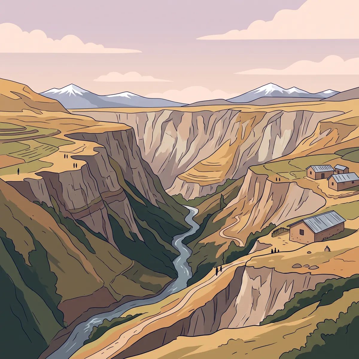
On the way, the Toachi Canyon viewpoint looks over a deep canyon cut by the river. Past eruptions of Quilotoa formed it. The bare walls show layers of ash and of tuff, a rock made of pressed volcanic ash. On clear days you can also see other volcanoes far away.

Directions to the site
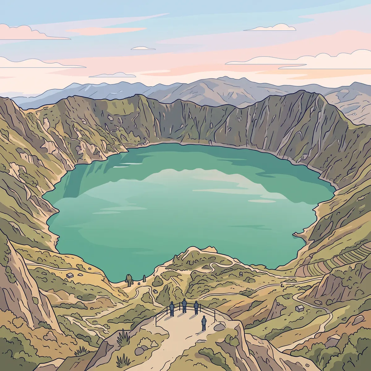
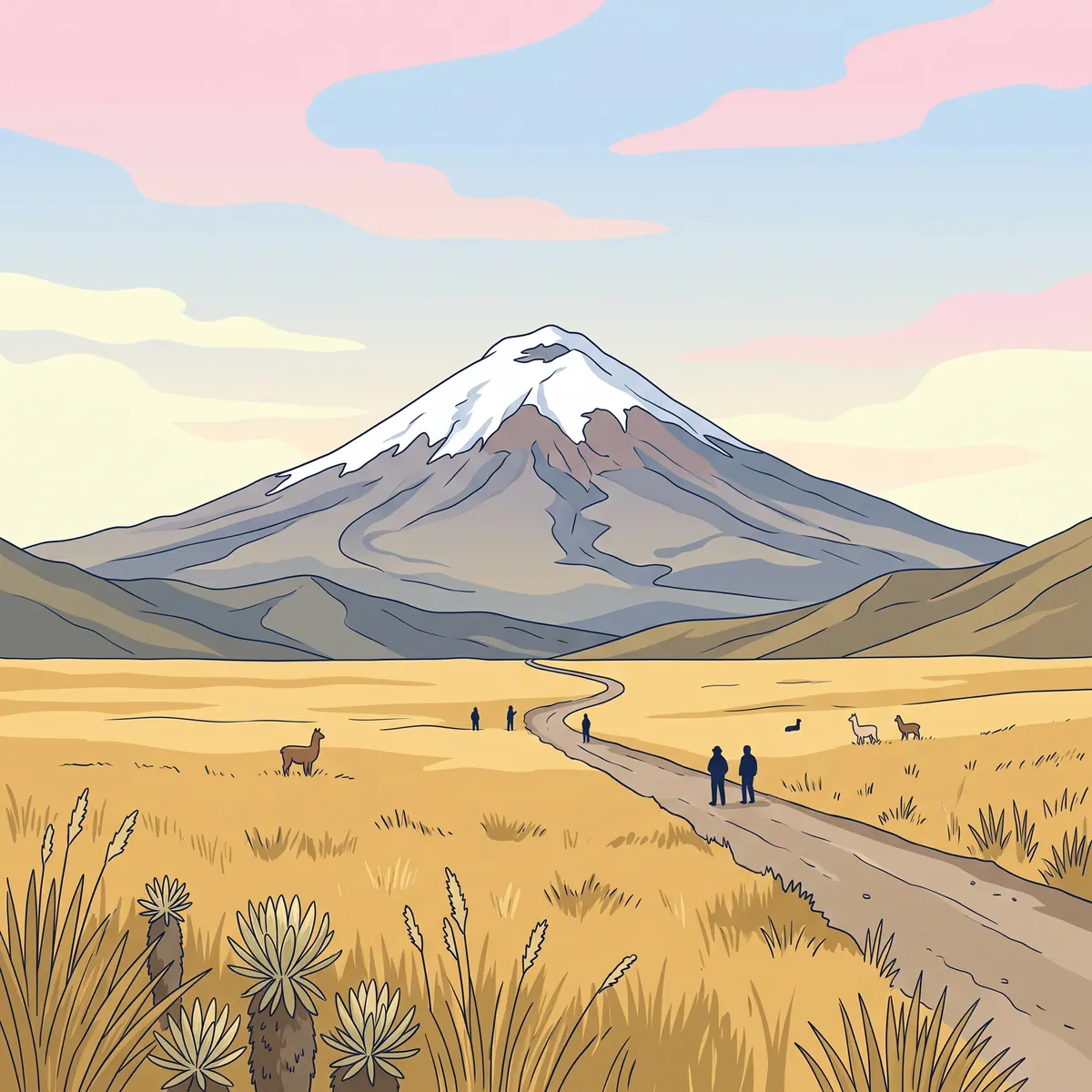
Illustration coming soon
Midday

Laguna Quilotoa

Laguna Quilotoa

The lake fills a caldera, a volcanic crater that formed after the volcano fell in on itself. The crater edge is at about 3,914 m, and the lake is probably about 250 m deep.

The green-turquoise color comes from minerals in the water. In some places on the shore, volcanic gas still comes out of openings in the ground, and you can smell sulfur. This shows that the heat under the ground has not gone away.

For the Kichwa people Quilotoa is a holy place. Several old folk stories tell how it began: a star that fell, or a battle between gods.

Wildlife here
Directions to the site
Illustration coming soon
Afternoon

Cotopaxi viewpoint

Volcán Cotopaxi

One of the highest active volcanoes in the world, and the second-highest mountain in Ecuador. Its perfect cone and snowy top have made it a national symbol.

Directions to the site

Schedule for today

  1. Morning
    A stop at a viewpoint over the Zumbahua canyon.
  2. Midday
    Views from different points around the edge of the crater.
  3. Afternoon
    If time and traffic allow, we stop by the road to see Cotopaxi volcano.
  4. Night
    Wyndham Quito Airport, Tababela
Meals
Breakfast and dinner included, lunch on your own
Bring
  • Warm jacket, it is windy up high
  • Comfortable walking shoes

The exact schedule may change in the field, depending on the weather and the local team's judgment.