Home page

Isabela, Urbina and Tagus

Day 9 · Saturday 14.03.2037 · Galápagos

Sites of the day

Illustration coming soon
Morning

Urbina Bay

Punta / Bahía Urbina

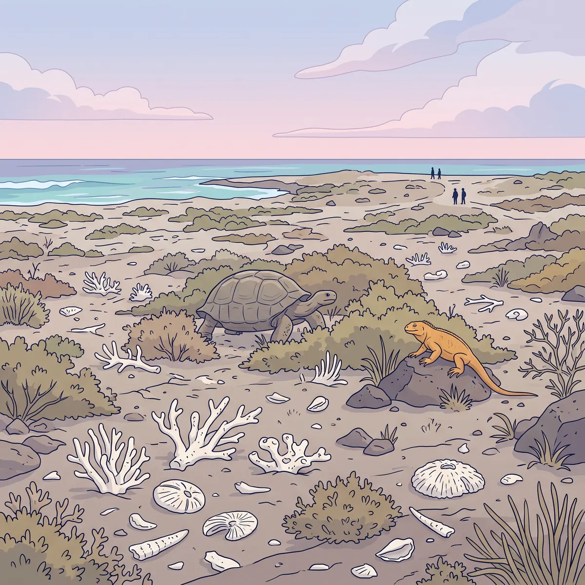
In March 1954 a strip of coast about 6 km long rose about 5 m all at once. This happened because magma (hot melted rock) pushed up under the side of Alcedo volcano. Coral skeletons that were once under the sea lie here on dry land today.

This young land is only about 70 years old. Plants already cover it, and yellow land iguanas and giant tortoises feed on them.

Directions to the site
Illustration coming soon
Afternoon

Tagus Cove

Caleta Tagus

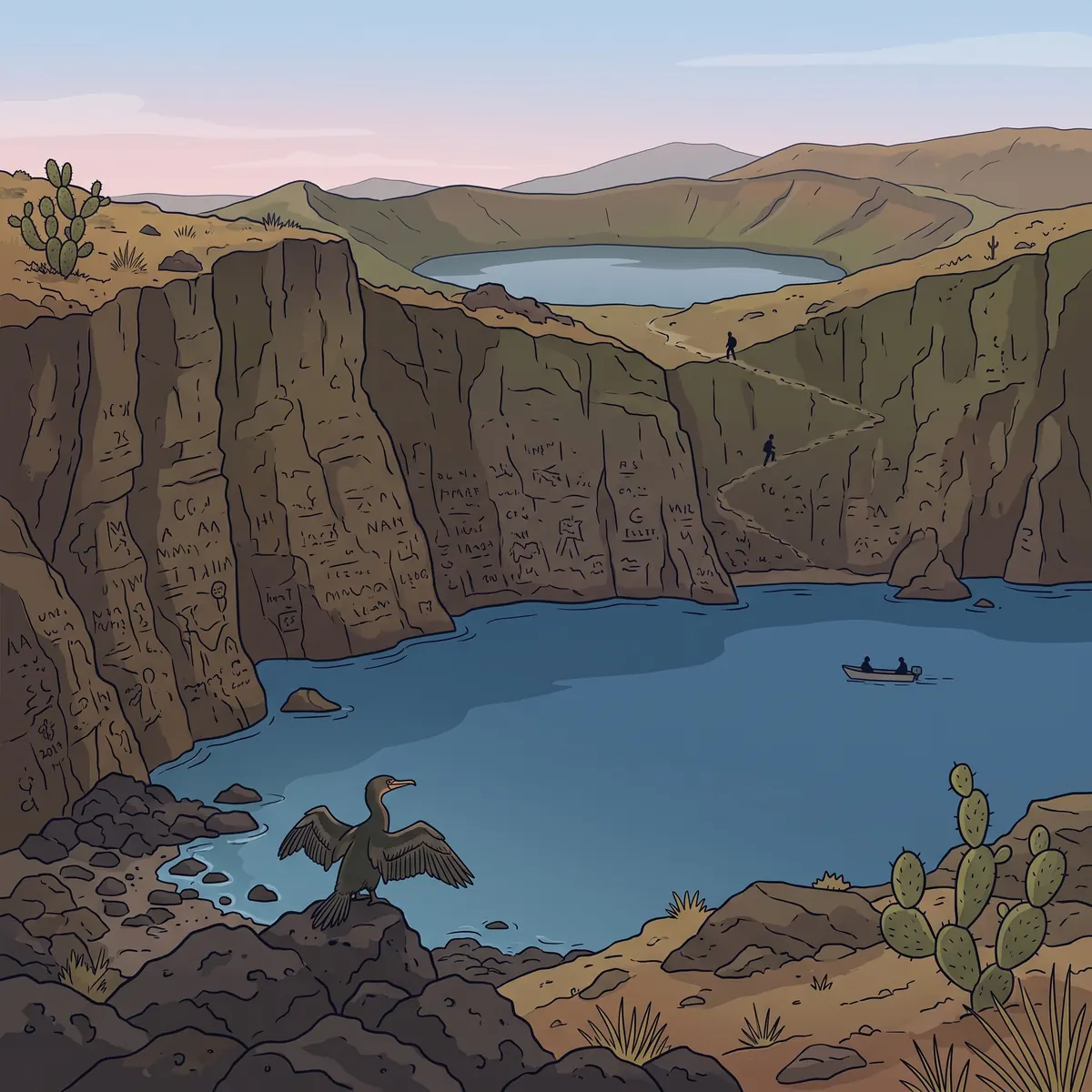
Sailors cut hundreds of inscriptions (short texts) into the cliffs, some of them in the 19th century. In 1684 the pirate Ambrose Cowley drew the first useful map of the islands here. He also gave the islands British names.

In the 19th century whale hunters took giant tortoises onto their ships as live food. The tortoises could stay alive for months without food or water. People estimate that they took between 100,000 and a quarter of a million tortoises.

Directions to the site

Schedule for today

  1. Morning
    Plants, lizards and giant tortoises.
  2. Afternoon
    Dry landing, view of Darwin Lake, a Zodiac ride along the cliffs.
  3. Night
    Galapagos Legend yacht
Meals
All meals on the yacht
Bring
  • Closed shoes with good grip
  • Snorkeling gear
  • Hat and sunscreen

The exact schedule may change in the field, depending on the weather and the local team's judgment.